Exploring the Glendahurk Horseshoe: A Short Trip with Unexpected Challenges. ❄️🗻

OSI, 1/50000, A section of the Nephin Beg range.
“Hiking is not for everyone. Notice the wilderness is mostly empty.”
Sonja Yoerg
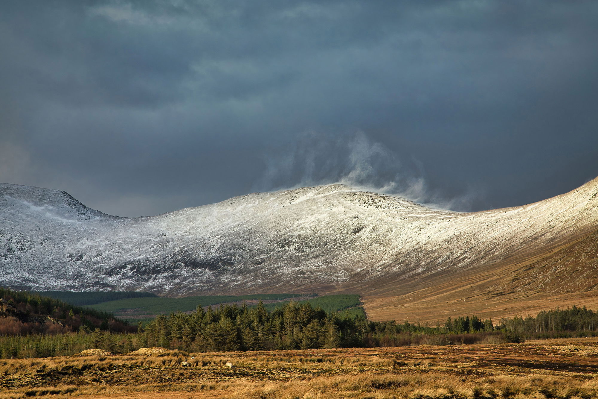
Snow being blown off the mountain during the strong winds of Storm Eunice.
This year, I've set my sights on attempting the Glendahurk horseshoe, a trek that will include an extra trek to Glennamong. The primary draw for me is the opportunity to capture the stunning landscape, particularly the remoteness of the land and mountains as they stretch out over the captivating Wild Nephin Wilderness. In preparation for this ambitious endeavour, I recently undertook a brief reconnaissance trip to a section of the mountains, and the experience was nothing short of exhilarating.
The Glendahurk Horseshoe, located approximately 6 kilometers north of Newport and on the right heading towards Achill, is a popular loop hike featuring Bengorm Mountain and the Corranabinnas, boasting heights of 714 meters. Just about three kilometers north lies Glennamong, a slightly more challenging destination to access.

Croagh Patrick camouflaged in the background with Clew Bay in the middle distance

The last of the evening colours begin to fade over the Bengorm, Corranabinna ridge line.
My plan for this short trip is to ascend to spot height 258 for a breathtaking panoramic view of the surrounding countryside before descending into the forest and tracing the river's meandering route back to the car park. However, the timing of my visit coincided with the arrival of three storms: Dudley, Eunice, and Franklin, resulting in strong gusts, wet weather, and even snow and sleet atop the high ground. Trekking through the snow just above the snow line added an unexpected, yet intriguing element to the adventure.

Clare Island in the distance out in Clew Bay.
Despite the challenging weather, the initial portion of the trek, from the parking lot to spot 258, proved relatively manageable. Following a period of heavy rains, the ground was exceedingly wet yet surprisingly stable. While I longed to ascend higher, time constraints and unsuitable gear prevented me from doing so. The descent from spot height 258 into the forest was quite wet, with water cascading off the mountainside and rendering the path rather treacherous. Upon entering the trees, the terrain improved slightly until I reached the Glendahurk River.

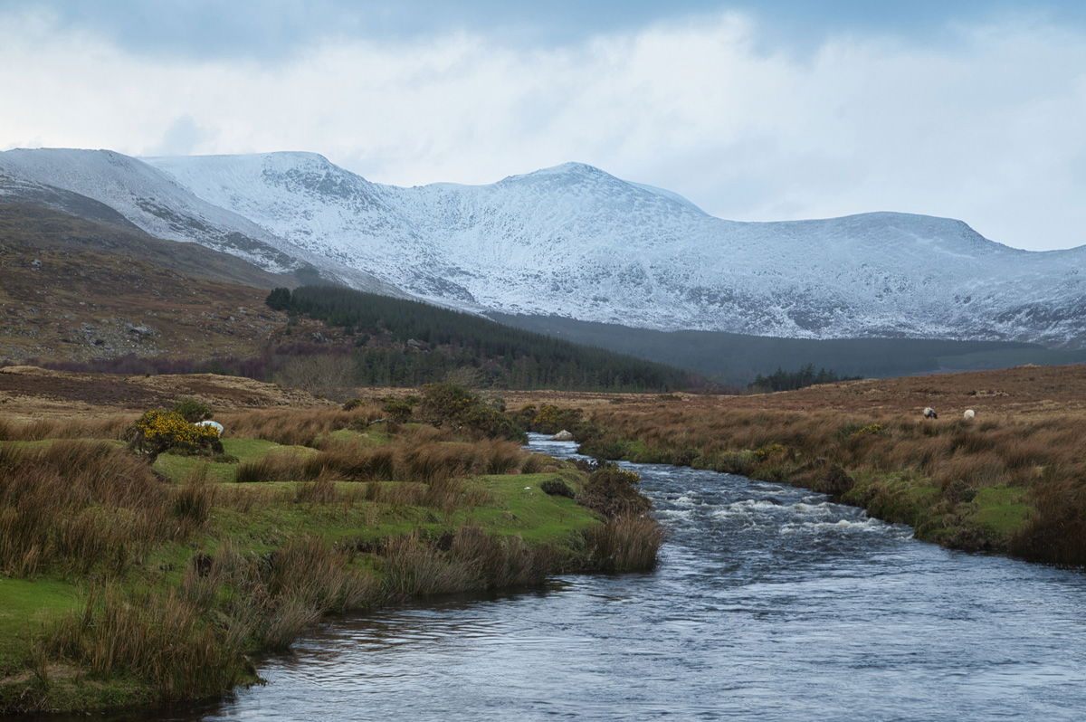
Glendahurk River makes its way slowly to the sea.
The Glendahurk river originates in the mountains and flows south into the Owengarve river, passing under the main Mulranny–Newport road before ultimately meeting the sea at Newfield. The upper stretches of the river are particularly picturesque, especially when adorned with a mantle of snow. Tracks on both sides of the river enable visitors to follow its winding course as it descends towards the sea.
Glendahurk River.

A very remote feeling heading back across the bog.
Overall, the day was extremely pleasant. The weather held out reasonably well, and the high ground and the river valley offered some stunning views.
Given this terrain's characteristics and the time required to capture the numerous breathtaking sights, it's likely that I will split this trip into phases and finish them at different times.
Carpe Diem