A Sandy Beach at Scardaun Lough ! ⛱
“One day I’ll wake up and realize I don't have much more time to do the things I’ve always wanted to do”.
Anon

Wild Nephin area route, OSI map 23. Starting on the Western way and out through the Bangor trail, (approx 21 km)
Following on from the recent Letterkeen loop walk a fortnight ago, I decided this time to return via the Scardaun lakes to the wonderful desolate landscape that I had first photographed from the top of Corslieve during the Slieve Carr expedition last year.

After exiting Letterkeen car park, it's not long until you're in the thick of things. Here the Altaconey River winds it’s way past Letterkeen on its way to Lough Feeagh.
Since early in the day, there had been a steady downpour of heavy rain, and the day's weather seemed bleak. I did, however, hold out hope that it might clear up after keeping an eye on the amazing free Clear Outside weather app on my phone. On the morning of the trek, the app predicted that the rain in the Letterkeen region would start to lessen about 1100 to 1130 hrs. Once again, the app's forecast was accurate; as expected, the torrential rain started to ease until stopping completely around the forecasted time.
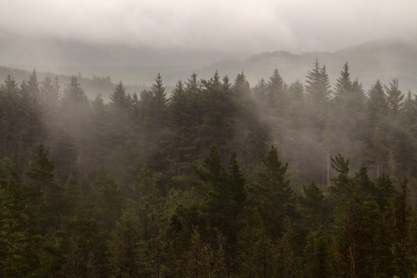
After the heavy rain had stopped and with humid conditions the forest just steamed. The Forest was alive and welcoming me to the great Altnabrocky woods !.
The Western Way.
The Western Way is a designated national trail that starts in Oughterard, County Galway, and finishes in Ballycastle, County Mayo. It is 180 kilometers long. Starting at the Letterkeen trailhead, the initial stage of my trek leads me to this track, which follows a logger's route through the magnificent Altnabrocky Forest as it heads towards Ballycastle in North Mayo.

The Altaconey river runs alongside the Western Way trail for about 4 kilometre.
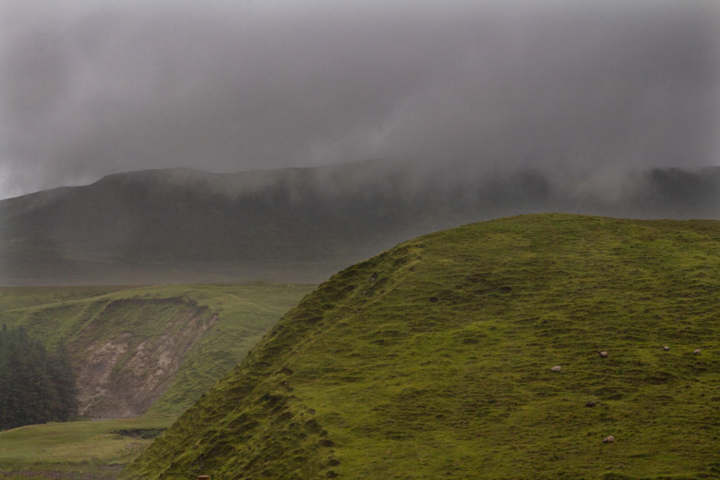
The brooding low grey clouds still hang about on the hills for a bit.
Approaching the Altnabrockey shelter number 2.
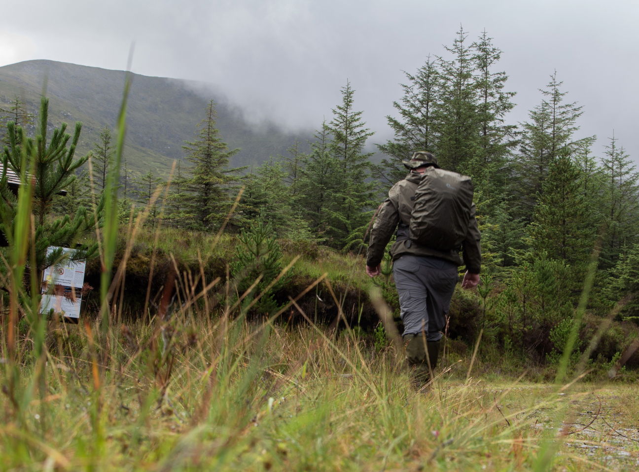
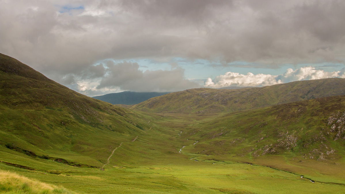
My strategy is to hike along this track for about 8 to 9 kilometers before leaving and making my way to the Scardaun Loughs, which are tucked between Slieve Carr and Nephin Beg on a flat piece of bog.

Looking north east over the huge Altnabrockey Forest after coming off the Westen Way trail and ascending about 150 meters.
After a short rest I carry on until I come across a wooden stile leading out into the open countryside. After taking this exit from the forest, I cross about a kilometer of blanket bog until I arrive at Scardaun Lough. The going here is surprisingly good despite the heavy rain that fell in the morning. The ground is very solid now but could be soft and marshy and would probably greatly prohibit movement in the very wet weather we get here at times in the West.
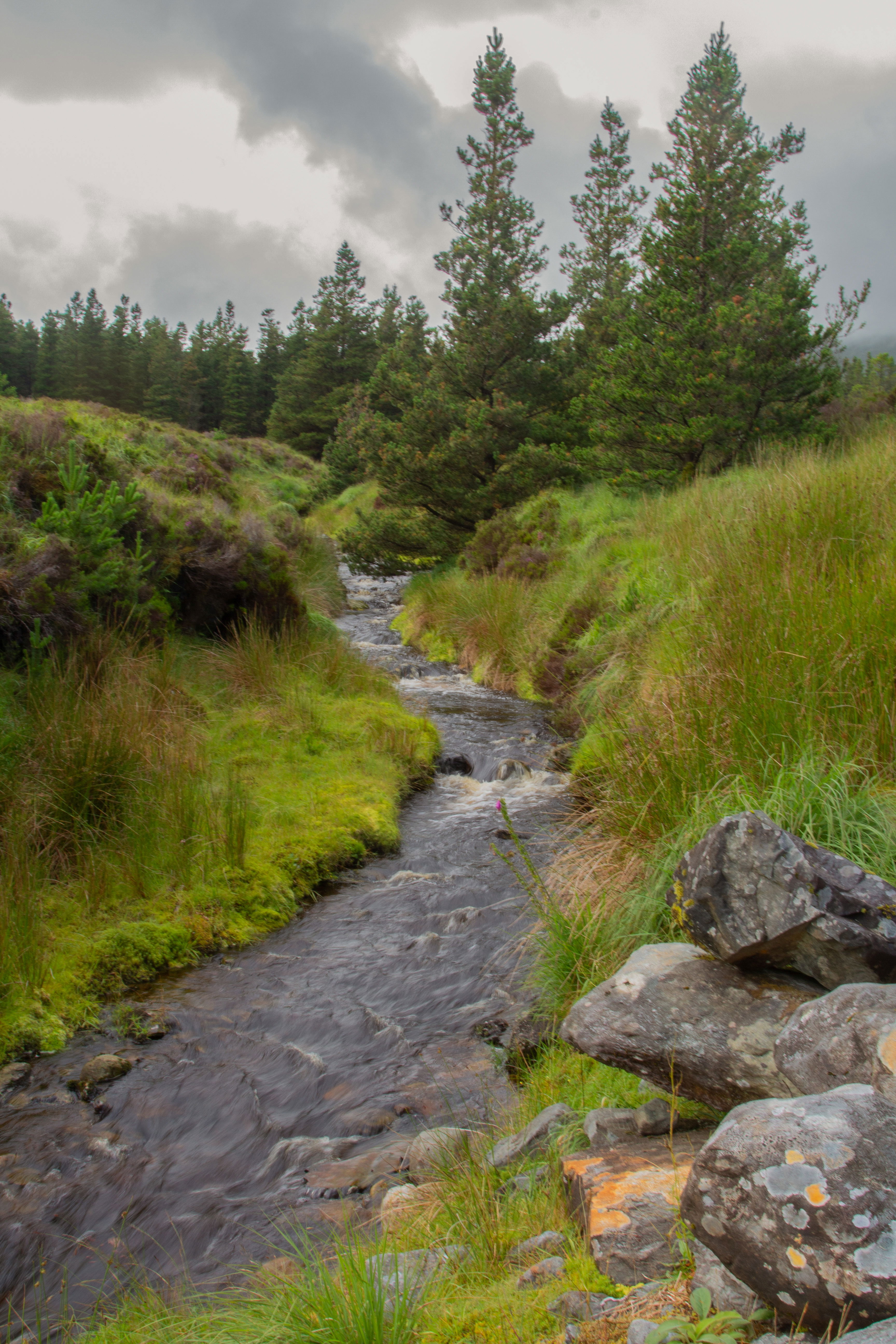
Water beginning to flow in the many streams that dot the Landscape.
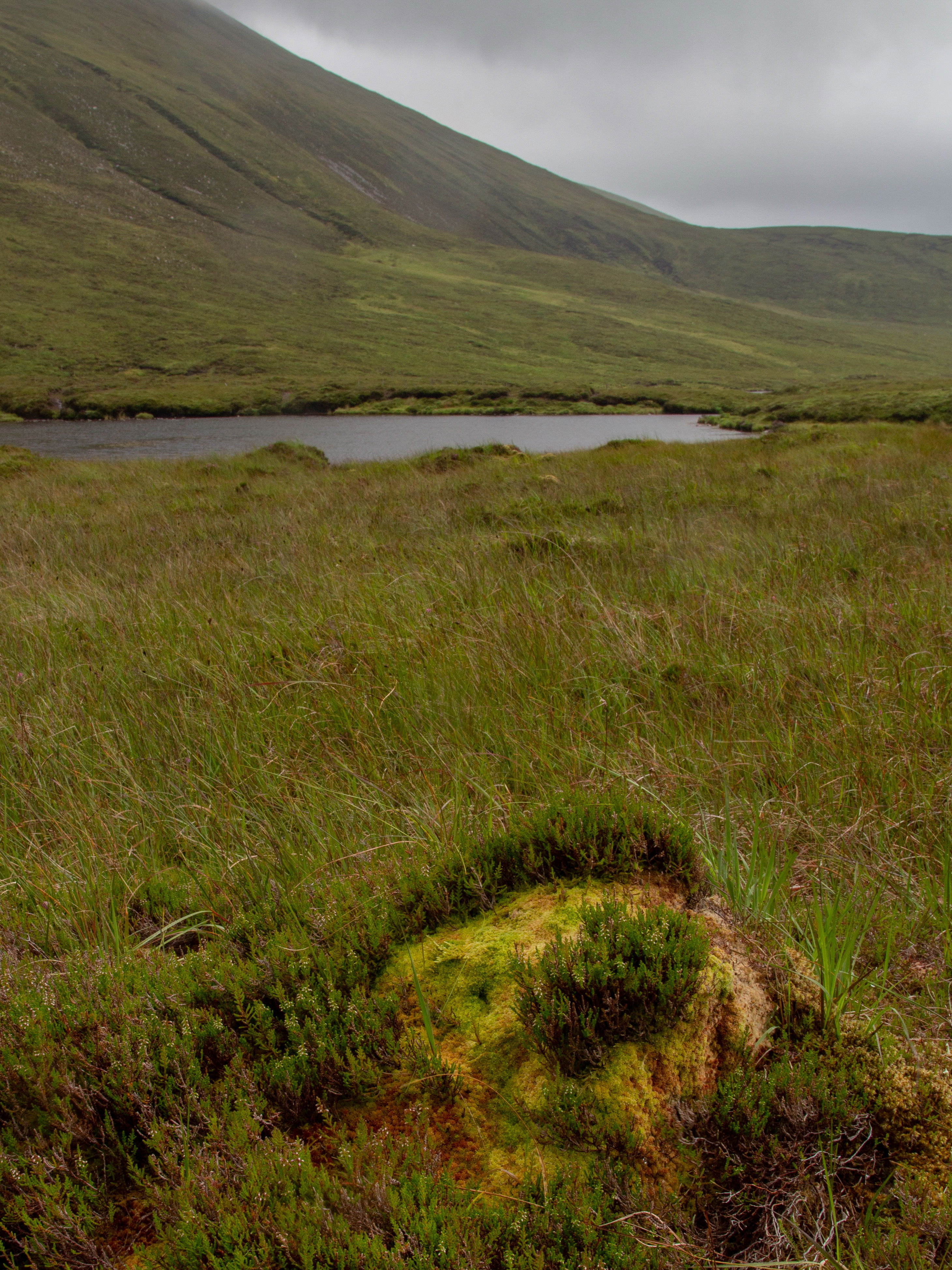
Scardaun Lough.
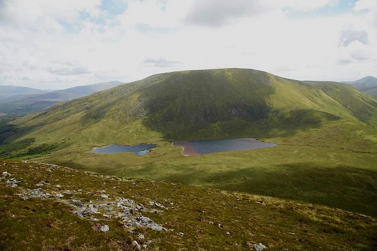
Picture of Scardaun Lough taken from Corslieve with Nephin beg in the background showing the Sandy shoreline in part.. I was traversing left to right in the pictire.
Since I first spotted this lake a year ago from the top of Corslieve on my Slieve Carr trek, I had noticed that some of its coastline was sandy and thought it would make a great spot to stop off at for a break on some future treks.
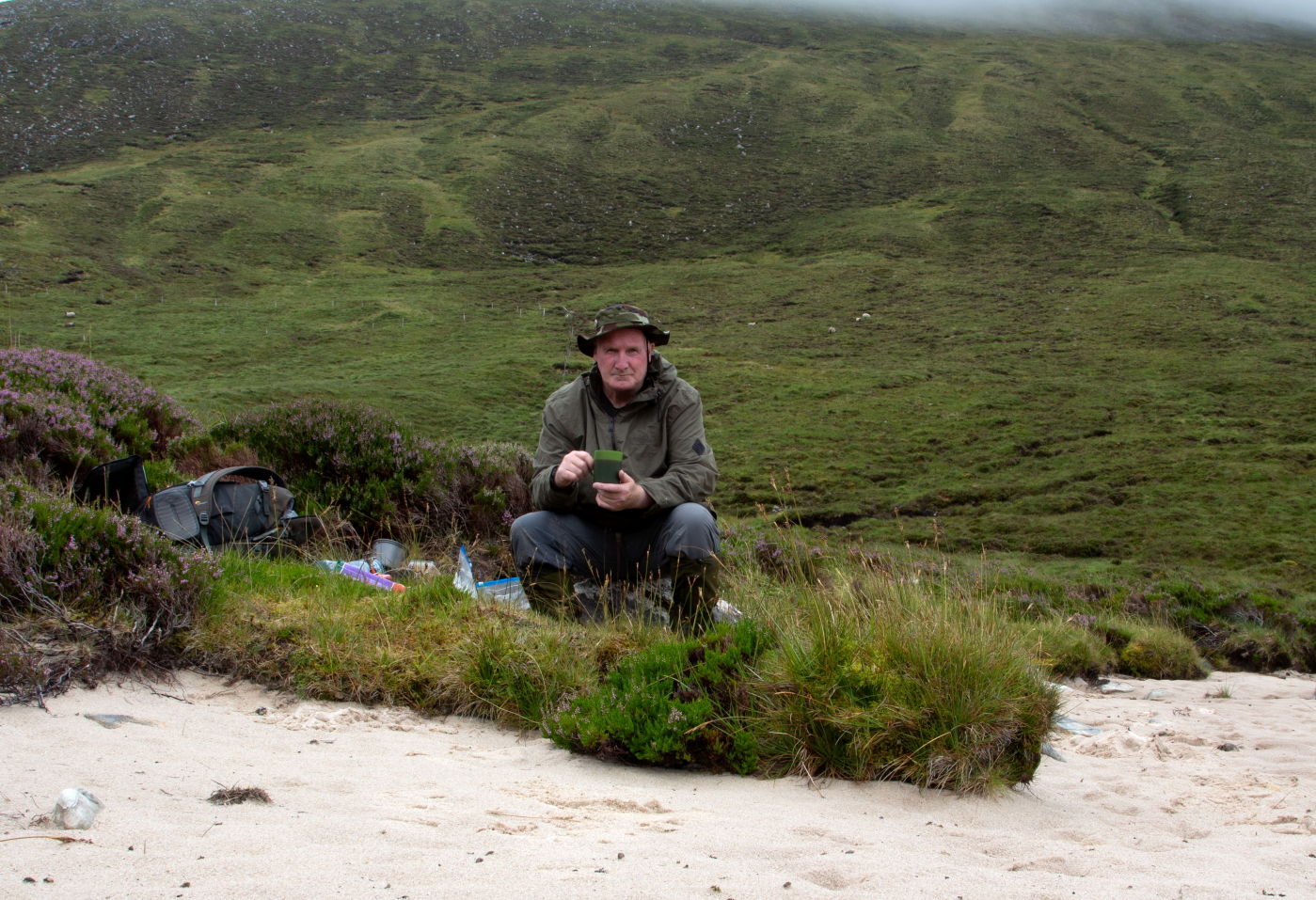
Coffee Break on the Sandy beach at Scardaun.
Near the lake a brightly colored Sphagnum Moss Hummock stands out against the colour of the blanket bog, an indicator that this area is a high-quality habitat.

Slieve Carr covered in cloud as seen from the route taken into Scardaun Lough.
The water appeared to be clean, especially after the morning's rain, and water was starting to pour into the lake through the various gullies and streams from the location. Brown trout and maybe other species of fish are believed to be present here in the lough, but I have no idea how they got here unless they were stocked. But who would be responsible for stocking these waters, I wondered?

Sheep have a hugh area to roam and graze here 🐏
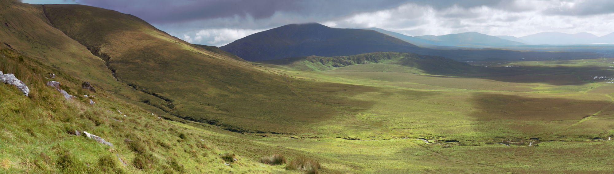
After a lengthy rest in this pleasant location, it was time to resume walking toward the Bangor Trail. I was going to exit where the Scardaun River descends from this plateau into the blanket bog, but I chose to linger a little higher up so I could fully experience what was going to be waiting for me once I crossed the ridge line just before heading down. Like on another occasion, I was taken aback by the breathtaking scenery in front of me and had to pause for a moment to take it all in.

Looking out over the massive Owenduff bog towards Achill from a position on the side of Nephin Beg.
The Bangor Trail.
The Bangor Trail is an old drovers' trail that runs from Bangor Erris to Newport and passes through the Nephin Beg Mountains and the immense wildness of the Owenduff Bog.
If you look close enough you can just make out the Bangor trail in this image with Glennamong in the background and part of Nephin Beg Mountain on the left.
The Bawnduff River flowing alongside the Bangor trail for about 2 kilometres.
It can be traced back to the 16th century, and some say all the way to the Iron Age. My section of the return walk will meet up with the trail around 9 kilometers out of Letterkeen, and all things considered, I reckon it is one of the finest hiking tracks in the country
The Oak Tree
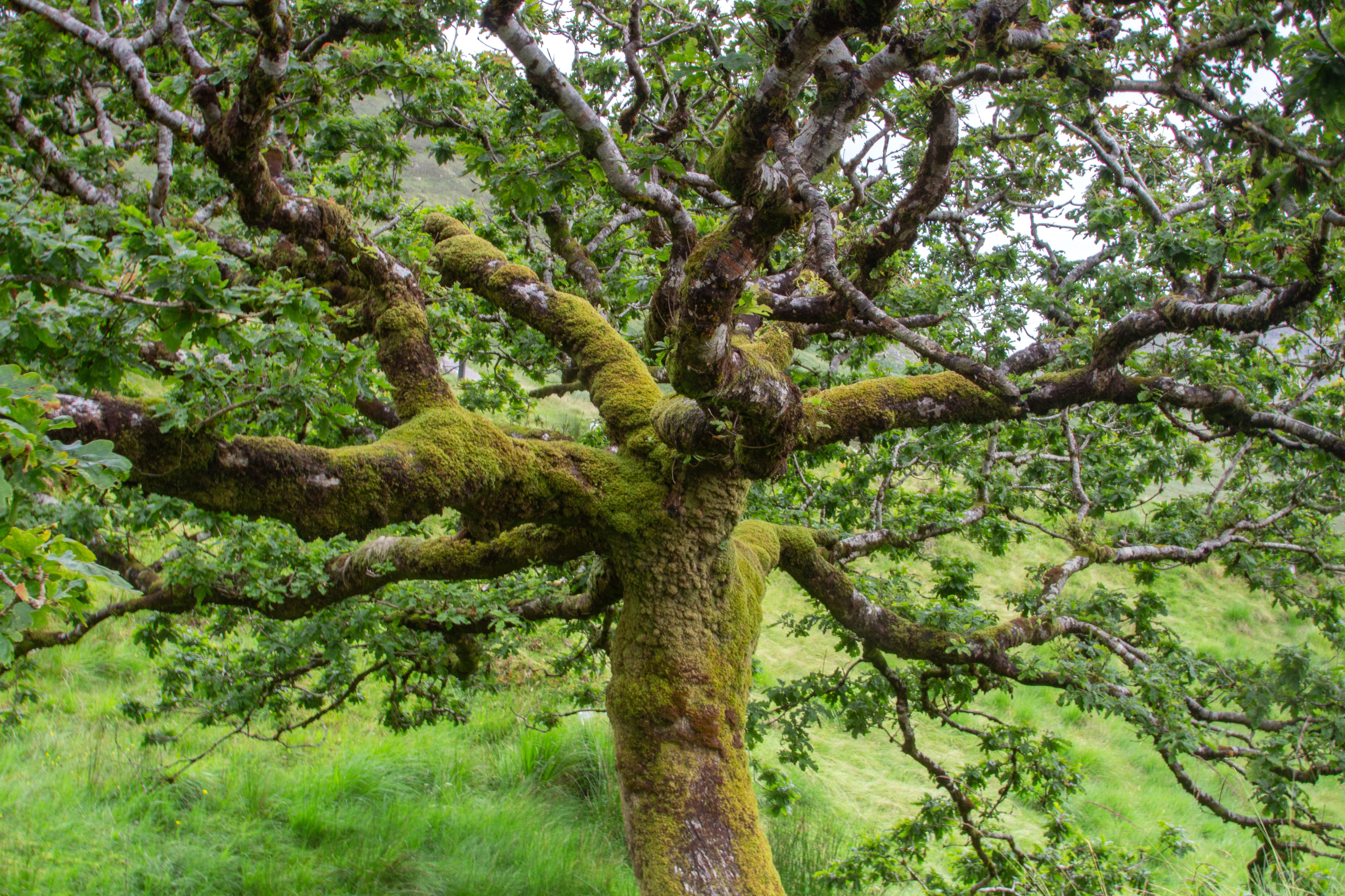

A lone Oak tree can be found in the Maumaratta region, in a dip on the trail. I'm glad to see it is still prospering very well in this desolate landscape.

When the light is right the Bangor trail offers spectacular views of the surrounding mountains.
Letterkeen

The trees catch the light against the backdrop of the shadowed landscape.

Catching a rainbow against the Birreencorragh range of mountains.

One of the last vistas looking over towards Bullaunmore as I drop back down into the Letterkeen woods and the car park.
I quickly reach one of the small footbridges that span the Altaconey River as I draw closer to my home destination. What began out as a "no good to go day" suddenly changed into a "good to go day" due to a sudden shift in the weather conditions in the morning, leading to a really beautiful trip with the extra benefit of always getting some incredible photos.
Srahmore.

Lough Feeagh through the trees at Srahmore.
I saw some amazing light trying to break through the clouds that were gathering around the summit of Ben Gorm and the Corranabinnias on the way home from Letterkeen, so I stopped to take a picture of the scene at the pier close to the hostel. Additionally, the trees around the lake were being beautifully illuminated by the light that was reflecting off of them, and it was clear that the sun was setting quickly this evening.

Pictured from Srahmore, the sun in the clouds over the Coranabinnias.

Far away to the south Croagh Patrick was hovering in the clouds.